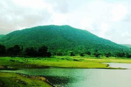
The district of Palamu lies between 23°50' and 24°8' north latitude and between 83°55' and 84°30' east longitude. It is bordered on the north by Son and Bihar rivers, on the east by the Chatra and Hazaribagh districts, on the south by Latehar District and on the west by Garhwa District. A great proportion of Palamu consists of hills covered with jungle. The soil in many parts is strongly impregnated with iron. Palamu is well known for rich mineral resources.
Daltonganj, situated on the North Koel river, is the district headquarters of Palamu. Daltonganj is named after Colonel Dalton, Commissioner of Chhota Nagpur in 1861. The distance between Daltonganj and Ranchi is about 165 Km.
The Origin of the name Palamu is a matter of different opinions. According to some, it is derived from the Hindi word palana means “a place of refuse”. Another suggestions is that the name is combination of Pala meaning “ forst” and mu means “dead “, making it "dead due to frost". It may be due to the extreme winter temperatures.
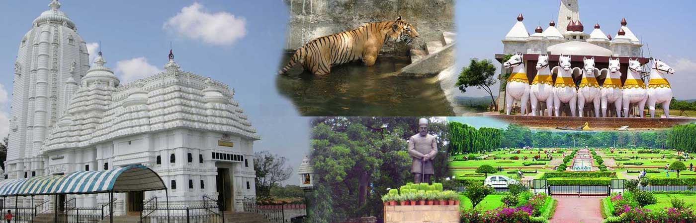
Palamau is located on the river named Auranga. It is set at a distance of 20 miles from Daltonganj, in its south-east direction. For the motorists and especially for the people who loves trekking, the Palamau Division is a perfect destination. There are several beautiful forests bungalows such namely Netarhat, Kechaki, Mahuamilan, Belta and some more. In the entire region of the Indian state of Jharkhand, Netarhat is one of the most mesmerizing locations. At present, the Latehar District contains the regions of Netarhat and National Park Betla.
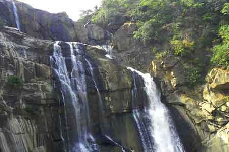
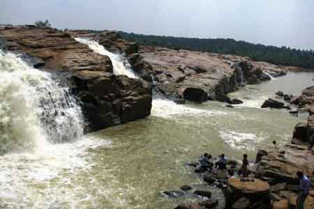
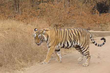
One can find several sparkling waterfalls in the district. Another location to visit is the Palamau Fort. The river named Koel and its branches namely the Auranga River and the Amanat River flow through this location. Apart from these rivers one can also find lesser streams. Nearly all of these streams are small mountain streams. This location is an ideal destination and a very intriguing spot for the historians as well as the archeologists. For many a numbers of years this location has been the base for the Chero Chiefs. They have constructed some excellent forts; the relics of these forts stand here. The British people later got the control over this fort. Amidst the dense woods, this fort is located. The foot marks of the tigers can be seen all around the fort.