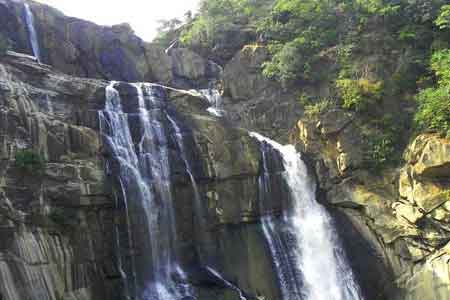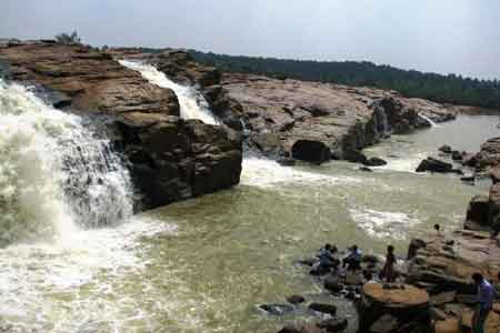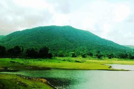
Giridih District, an administrative district of Jharkhand has its headquarters at Giridih. Giridih District was carved out from Hazaribagh District on 4th December, 1972. The district lies between 24 degree 11 minutes north latitude and 86 degree 18 minutes east longitude. Lying almost in the central part of the North Chota Nagpur Division, this district is bounded by Jamui District and part of Nawada district of Bihar in the north, by the districts of Deoghar and Jamtara on the east, by Dhanbad District and Bokaro District on the south and west by districts of Hazaribagh and Kodarma. Giridih District is spread over an area of 4853.56 sq km. The famous Parasnath hill is situated here and it is the highest peak of Jharkhand having altitude of 4431 feet above the sea-level. The district is also famous as a place of ruby mica and coal field. The famous Grand Trunk Road also passes through this district.
Giridih is an integral part of the Chota Nagpur Plateau. The city once was surrounded by deep forest and was difficult to pass. The major inhabitants of the area have been the tribal people. The area for long remained out of any imperial control and developed its own monarchical system when the people decided to elect King for good governance. The Mundas were elected as the better community and given the responsibility of administrating the area. But with the advent of Mughal the polliutical history of Giridih underwent a change. The Mughals brought entire Bihar and Bengal under them and Giridih too became a part of Mughal empire. Later, it became a part of British India and also served as the
important city of South West Frontier Agency. It remained a part of Bihar till Jharkhand came into existence on 15 November 2000 .