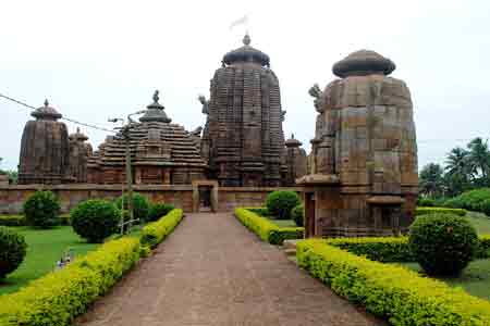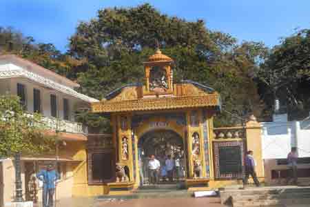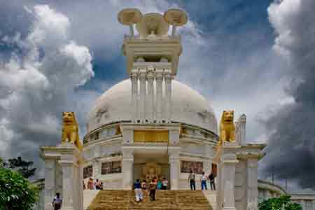
Bargarh district is considered as the business hub. At the western border of Odisha, this district is located. It is also close to the state of Chattisgarh, India. There was a fort initially at this place and it was then known as Baghar Kota. The history related to this district dates back to 11th century AD. This is also the district where early Buddhist settlement was noted. Such settlement has influenced the lifestyle and culture of this district for some time also. As far as tourist attractions are concerned, this district has a few places to count. But this district is surely rich with its culture and heritage. The Bargarh town comes alive during the Dhanuyatra. During this Yatra, Krushna Leela is depicted on the biggest and open stage. Here, you can also find some amazing temples as well as Buddhist monasteries. There are also some caves that attract tourists to explore them while in Bargarh.
Divided into Bargarh Plain, Borasambar and Ambabhona and Lakhanpur, Bargarh occupies an area of 5837 sq km.
The district is densely populated and has a total population of 13.46 million of which males claim 6.81 million while females claim 6.65 million.
Some parts of the region that are under the Hirakund Dam Project are economically sufficient. Rice and pulses are the main agricultural products of the place. However, Sugarcane is the only cash crop of Bargarh. Poultry and dairy are the prime economic activities of the district.
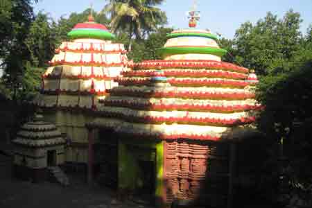
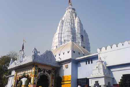
The district has several places of tourist interest. Among them Nrusinghnath, Gandhamardan, Hiuen T'sang, the mighty Mandap and Papaharini are worth of mention.
The Bargarh district of Odisha was formed on the 1st of April in the year of 1993. One of the notable districts of Orissa, Bargarh is spread over a total geographical area of 5837 sq. km and holds a population of 13.46 millions as per the census data of 2001.
Located in the western part of Orissa, Bargarh district is surrounded by Chhatisagrh on the north, Balangir district on the south, Sambalpur district on the east and Nawapara district on the west.
Geographically the district of Bargarh can be divided into three major divisions of the Borasambar, Bargarh Plain and Ambabhona and Lakhanpur. Also known as Padampur, Borasambar is encircled by high mountains on the northern and southern sides. The River Ong or Ang flows through the region and makes it suitable to grow several agricultural crops.
The undulating alluvial Bargarh Plain is suitable to grow good quality rice and paddy. Blessed with natural drainage facilities, Bargarh Plain supports the growth of large agricultural products and is free from insects and pests. The Ambabhona and Lakhanpur region is encircled with high hill ranges of Barapahar Mountains.